| DATE OF RECORD |
HIGH TEMP |
NORMAL VALUE |
DEPARTURE FROM NORMAL |
LOW TEMP |
NORMAL VALUE |
DEPARTURE FROM NORMAL |
AVERAGE TEMP |
NORMAL VALUE |
DEPARTURE FROM NORMAL |
| 11/01 | 53 | 59 | -6 | 31 | 40 | -9 | 42 | 50 | -8 |
| 11/02 | 49 | 59 | -10 | 26 | 40 | -14 | 38 | 49 | -11 |
| 11/03 | 66 | 59 | +7 | 36 | 40 | -4 | 51 | 49 | +2 |
| 11/04 | 72 | 58 | +14 | 46 | 39 | +7 | 59 | 49 | +10 |
| 11/05 | 69 | 58 | +11 | 50 | 39 | +11 | 60 | 48 | +12 |
| 11/06 | 72 | 57 | +15 | 45 | 39 | +6 | 59 | 48 | +11 |
SATURDAY THRU TUESDAY (November 7-10)
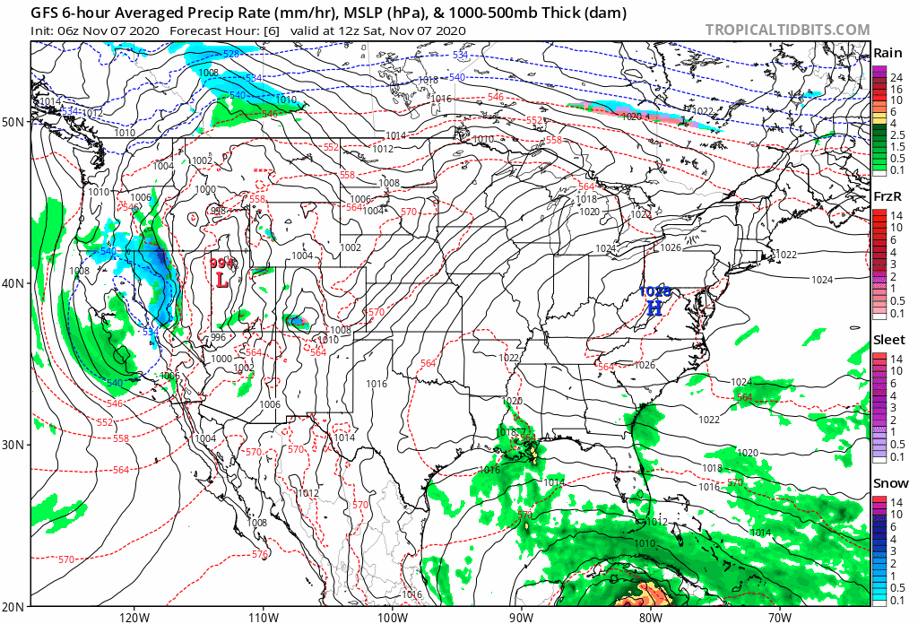
High Pressure remains in control of our forecast to start the weekend allowing for continued September-like warmth and clear sunny skies. As an upper ridge shifts East on Saturday, some Gulf air will advect in from the South on Sunday. This will bring in some added cloud cover for Sunday but will not be 100% in coverage, which means we will still have some rays of sunshine for the day. Temperatures in the afternoon continue to surpass the 70° threshold that will extend into Tuesday. We are still on record watch as we wait to see if any of daily records are tied on broken for the next several days. As it stands, the record high is 76 for all 3 days. It's unclear if the increasing cloudiness on Monday and Tuesday will hinder the thermometer to rise above forecast predictions but model guidance has been on the cooler side for a little while now. I will continue to add a few degrees to my forecast to reflect the outperformance. Here is a look at forecast temperature maps the next few days.
 |
 |
 |
 |
Indian Summer will be interrupted when a trough associated with a cold front will pass through our area on Tuesday and Wednesday. This will bring in a period of showers or weak thunderstorms. We will have to see how this interacts from what is left of Tropical Depression Eta. There is a lot of uncertainty in regards to it's convective nature. Latest model guidance runs is only spitting out precipiation amounts of less than a tenth of inch so it is not expected to last very long. As this disturbance continues to moves towards the Appalachians on Wednesday and Thursday we will experience a drop in temperatures with cold air advection into the Great Lakes and Ohio Valley regions. As we head to mid to late month, we'll get closer to where we should be for this time of the year in Central Indiana with highs in the middle to upper 50s and lows in the middle to upper 30s.
FRIDAY-SUNDAY (November 13-15)
High Pressure shortly returns ahead of another low pressure system that will pass to end the week. More rain is possible to end the week heading into the weekend, but again, this disturbance is rather weak. I did keep some clouds in the forecast at this time. It is looking like temperatures will mostly stay under the 70° threshold during this time period extending into Week 3 of November.
BRIEF LONG RANGE FORECAST DISCUSSION
The pattern will continued to be monitored as we approach the winter season. As it stands for this month, temperatures will continue to shift back and forth from a period of warm and cold spells. The deeper we get towards the winter season, the less potent the warm spells will get. Eventually, temps will migrate their way back towards freezing levels but that doesn't necessarily mean temperatures will run below normal. The daily average low temperature goes below 32 beginning November 23 and ends March 14. Even though temps may gradually continue to trend cooler in the weeks to come, our stretch of normal to above normal temps may continue for the foreseeable future.

Just for fun, I took a look at the 46 Day snowfall output (ending Dec 20) off the latest European weeklies run and it checks in at a measly 3" for Central Indiana.

In the meantime, here is an updated look at my extended forecast grid for the period of November 7-15.

No comments:
Post a Comment