Good Evening! Just as I thought, the storm system that moved through Indiana late Tuesday Night, Early Wednesday Morning was not all that significant here in Indianapolis. We received about a half inch of rain here. This system as a whole, however, tallied up a dozen fatalities & tornadoes in the Midwest. The eye of this storm impacted Missouri, Southern Illinois, Kentucky, and Tennesse the most. Gusty Winds was also a big issue. We had winds near 30mph and Gusts to 36mph Today.
Also we got a big boost in temps well into the upper 60s. 5pm high of 69°. Still pretty shy of the 30 yr record in the mid 70s on this leap day. These temps are more typical for the beginning of May.
Storm System #1 has now pushed its way to the East Coast currently impacting Virginians and Carolinians.
We have a another, suspectingly, powerful storm system coming. This Storm Sytem #2 will sweep by on Friday. Temps once again could rise up into the 60s.
SPC Day 3 Convective Outlook for Friday
SPC Probalistic for Severe Weather for Friday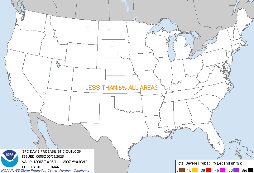

Behind this, we have yet another weekend cool down but not as cold as last Saturday. Low in upper 20s and Highs in Low 40s and upper 30s for Saturday and Sunday, respectively. There is a small chance for some flurries Sunday and Monday Morning. Temps will warm back to 50s on Tuesday and perhaps mid 60s again for next Wednesday. We are looking at spring warmth for next weekend into Mid March.
My Full 7 Day Worded Forecast is below the photos.
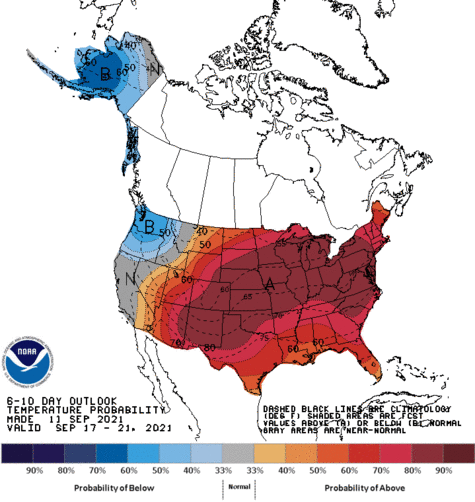
CPC 6-10 Day Temperature Outlook March 6-10
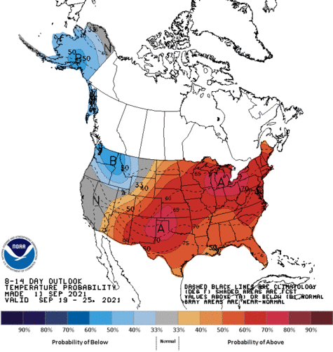
CPC 8-14 Day Temperature Outlook March 8-14
Tonight
Partly Cloudy. Cool. Low 38°
Tomorrow
Partly Sunny. Breezy. High 53°.
Tomorrow Night
Partly Cloudy. Low 34°.
Friday
Showers and thunderstorms likely, mainly after 1pm. Mostly cloudy, with a high near 65°. Rainfall Totals up to half inch possible (at this point)
Friday Night
Rain and Thunderstorms ending. Additional quarter of an inch precipitation possible (at this point). Low 36°
Saturday
Mostly Sunny. Cooler. High 41°.
Saturday Night
Cloudy. Cold. Low 27°.
Sunday
Chance of light snow showers or rain, perhaps wintry mix. Cool. High 37°.
Sunday Night
Cloudy. Cold. Low 25°.
Monday
Sunny. Small Chance of Morning Flurries. High 43°.
Monday Night
Clear Skies. Low 33°.
Tuesday
Sunny. Mild & Warmer. High 56°.
Tuesday Night
Mostly Clear. Low 41°.
Wednesday
Partly Cloudy with little Sunshine. Evening Showers Possible. Breezy. High 61°.
No comments:
Post a Comment