Good Afternoon! Well guys this has been a record setting year. If you can remember back, the first week to week and half of 2012 was spent with record setting highs across the nation. Over 1400 record were tied or broken in first 2 weeks of January. I can remember, St Louis hitting 70! Indianapolis hit 58 on Jan 6th, just 5° shy of the record 63 set in 2008. We are back into the mild record setting pattern. St Louis hit 86 yesterday. Indianapolis hit 81! This makes this the 3rd time ever we have hit 80s within the first half of March since our record keeping began in 1870. The first on March 8th, 1974 and the second on March 13th, 2007. Our last 80 degree day was October 10th last year. Its funny when Indiana is hotter than places like San Diego (62) and Vegas (77). Over 250 record highs set yesterday. How bout Denver having one of the least snowiest March ever? Only a trace so far. The tally is up to well over 5,000 record highs broken this year and will continue to rise higher within the next 7 days.
The shift is now focused to Missouri, where a storm system is riding a track to Central Indiana which should arrive late afternoon or early evening around 6-8pm.
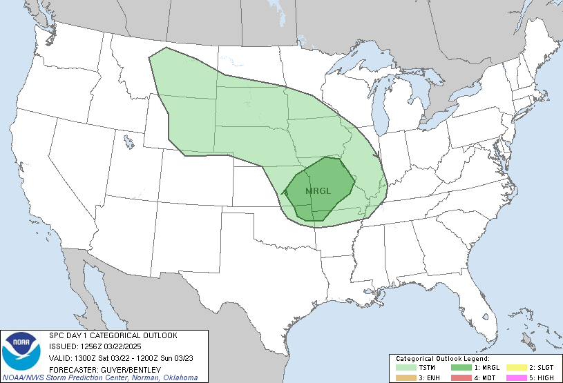
There is a slight risk for severe weather for Central Indiana. Hail and Heavy Downpours are the biggest threat followed by winds. The least threat is Tornadoes, shouldn't be an issue.
Also, we are looking at Record Setting High Today. The record 77 set back in 1977. Forecasting 80.
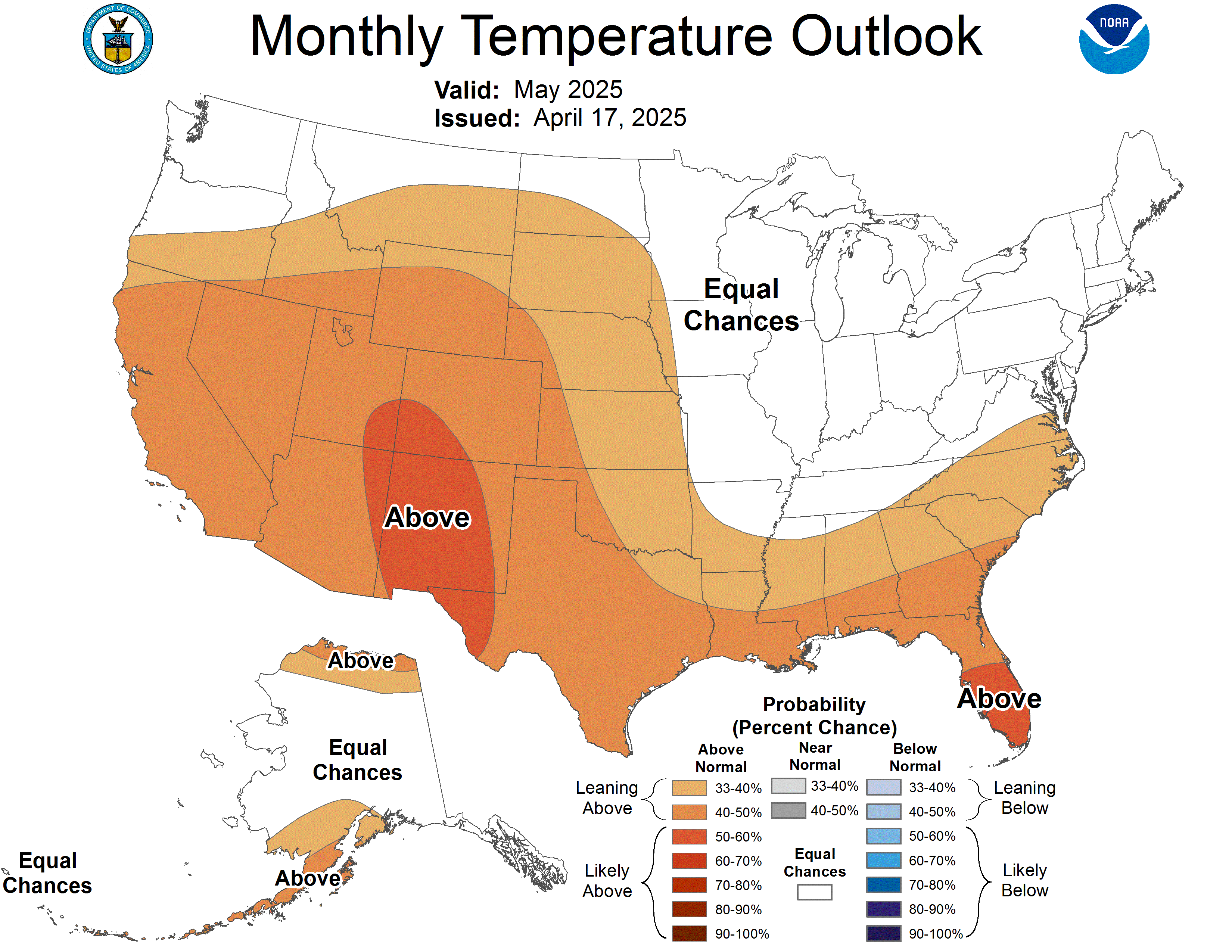
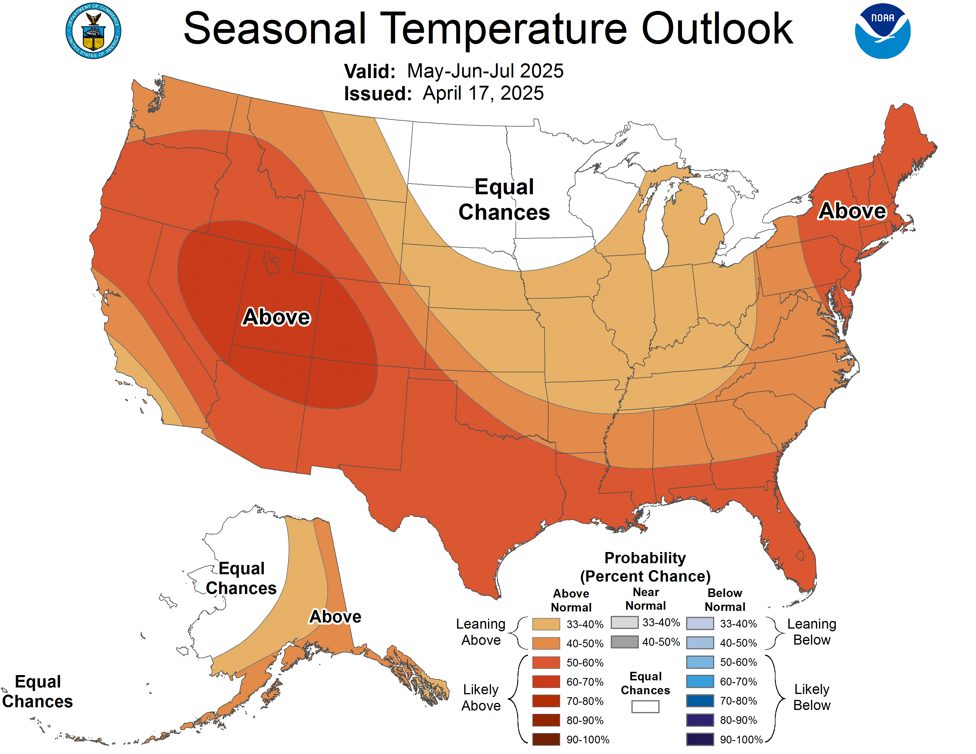
I've tweaked my 10 Day Outlook also (below photos). NOAA is predicting a cooler April. This time next month we will probably have more seasonal temps, the normal high April 15 is 63 and normal low is 43. I think we'll be around there. Predicting lots of highs in 50s and 60s next month, I don't think we'll have too many 70s or 80s, just my thought here. Also, take a look at 3 month outlook April-June. Not as warm as what we are experiencing now.
Here's my 10 worded forecast:
Today:
Partly Sunny Skies. PM T'Storm. Mild. Near Record. High 80. Record High 77 (1977)
Thursday Night:
Showers/T'Storms. Low 59.
Friday:
Partly Sunny. Chance of T'Storm. Near Record. Mild. High 79. Record High 79 (1945)
Friday Night:
Cloudy. Chance of Showers/T'Storm. Mild Low 63.
Saturday:<--------St Patricks Day
Partly Cloudy. Some Sun. Chance of Pop up Showers/T'Storm.
Near Record. Mild. High 82. Record High 76 (1894)
Saturday Night:
Partly Cloudy. Chance of Showers/T'Storm. Mild. Low 59.
Sunday
Partial Clearing. Mixed Sun & Clouds. Mild. Near Record. High 77. Record High 76 (1903)
Sunday Night
Partly Cloudy. Mild. Low 59.
Monday
Partly Sunny. Mild. Near Record. High 76. Record High 78 (1921)
Monday Night
Partly Cloudy. Mild. Low 57.
Tuesday:
Partly Sunny. Mild. Near Record. High 81. Record High 80 (1894)
Tuesday Night:
Clear. Mild. Low 52.
Wednesday:
Parly Sunny. Mild. Near Record. High 79. Record High 82 (1907)
Wednesday Night:
Partly Cloudy. Mild. Low 59.
Thursday:
Partly Cloudy. Mild. Near Record. High 80. Record 82 (1907)
Thursday Night:
Chance of Rain. Low 56
Friday:
Mixed Sun & Clouds. Chance of Rain/T'Storm. High 75. Record High 80 (1939)
Friday Night:
Partly Cloudy. Low 56.
Saturday:
Mixed Sun & Clouds. High 73.
Saturday Night:
Partly Cloudy. Low 53.
Sunday:
Partly Sunny. Mild. High 70.
Precip
Since March 1st---1.49"
Sice January 1st--6.35"
Since Dec. 1st----11.45"
Snowfall
Since March 1st----0.7"
Since Jan 1st---- 7.5"
Since Nov. 1st-- 9.8"
**Currently only 10.1% of the Nations ground is covered in Snow. Here's NOAA current snow depth map:


No comments:
Post a Comment