Observed Temperatures This Morning At 6:00 AM EST |
Today's Forecast Across The Nation |
Clouds return late Tuesday going into Wednesday and will persist through late Thursday. Not expecting much of a temperature drop Tuesday night into Wednesday but the passage of a cold front could likely drop temeratures throughout the afternon and evening on Wednesday. Still a few uncertainties with how Thursday's storm system will play out across the region. Given thermal profiles though, any precipitation to fall with be in the form of snow. There is a possiblity we may not get any at all while the chance for a few inches could also be on the table. Will monitor as it develops and adjust the forecast accordingly.

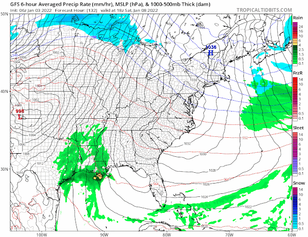
One thing that seems certain though, an arctic intrusion will bring a drop in temperatures yet again. Nothing has changed in previous forecasts. We are expected to be in the single digits on Friday with a sub-zero wind chill not being out of the realm of possibilities. A quick surge of warmer air arrives on Saturday and with increased moisture being transported in, it's still worth mentioning the chance for rain or snow and falling temperatures on Sunday. Temperatures will determine precip type which isn't exactly in focus at this time. At this distance, it appears drier but colder air can be expected immediately following the weekend for Monday and Tuesday.
 |
 |
No comments:
Post a Comment